Optimal drilling point
We pinpoint the exact spot on your land where water is most abundant, using 3D scanning.
A precise geophysical survey of your land: best drilling point, water depth, salinity and estimated flow rate. Stop risking thousands of dinars on a failed borehole.
One geophysical survey gives you the four answers that decide whether your well succeeds.
We pinpoint the exact spot on your land where water is most abundant, using 3D scanning.
Know the depth of the water table in advance — no bad surprises during drilling.
We measure salinity and verify the water is free of harmful salts — suitable for your crops.
An estimate of the expected pumping volume, so you can size your pump and irrigation project.
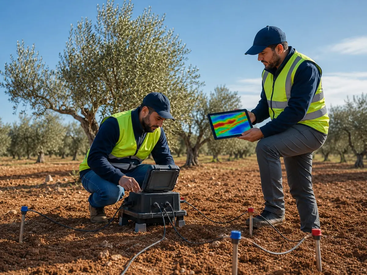
GeoMaster is a Tunisian geophysical engineering company based in Sfax. Our mission: reduce drilling risk and maximize your chances of finding abundant, good-quality water.
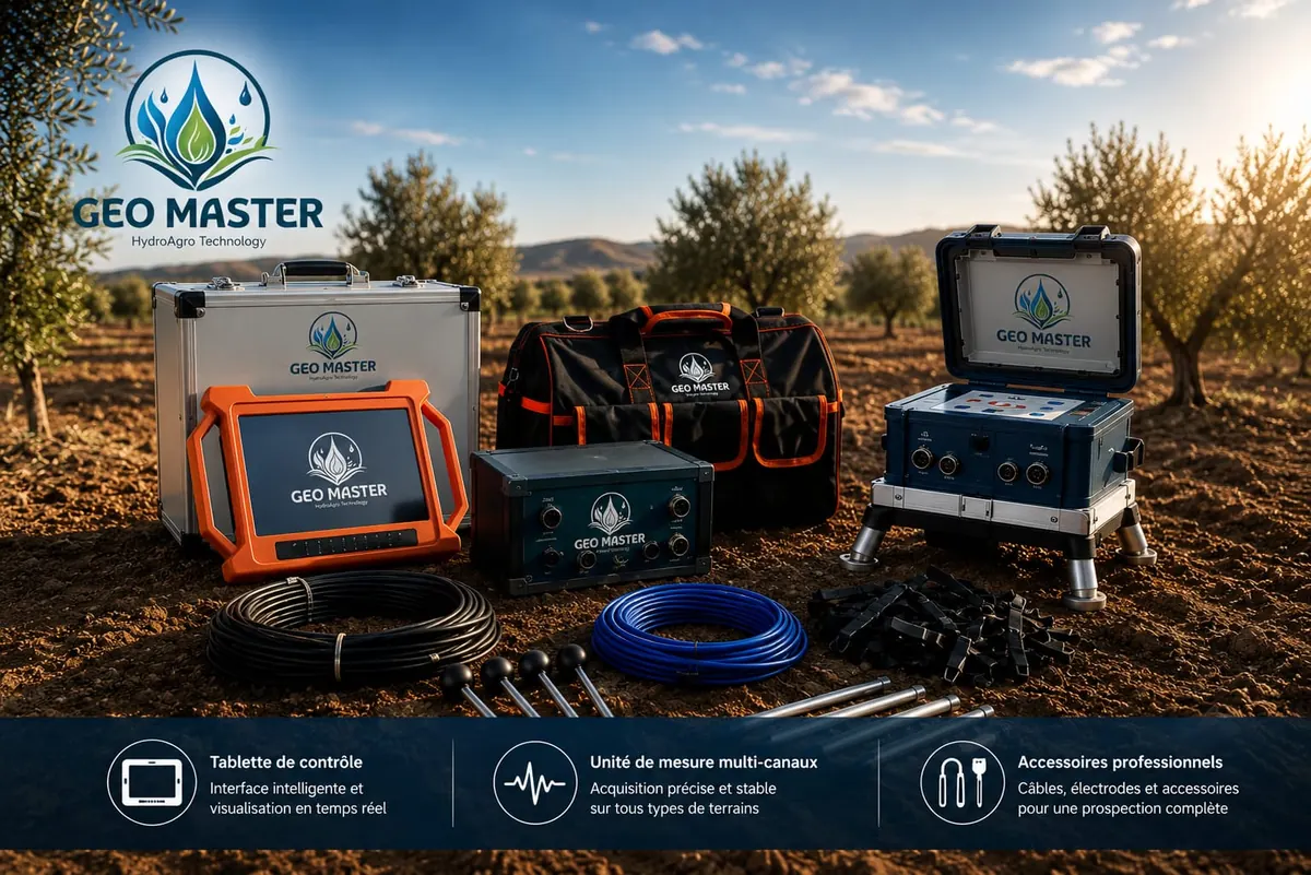
Our engineers work with two modern devices — one American, one German — paired with a latest-generation 3D scanner. Cross-checking their results keeps the margin of error to a minimum before every drilling project.
From first contact to the final report — a scientific, transparent process.
A full survey of your land (or a portion of it) to identify the best candidate points.
A geophysical study of each candidate point using a latest-generation 3D scanner.
Roughly one analysis point per 3 hectares, to locate the spot with abundant, agriculture-suitable water.
You receive the depth, salinity ratio and estimated pumping volume — before drilling.
Our teams travel with their equipment anywhere in Tunisia. Travel costs are calculated from Sfax.
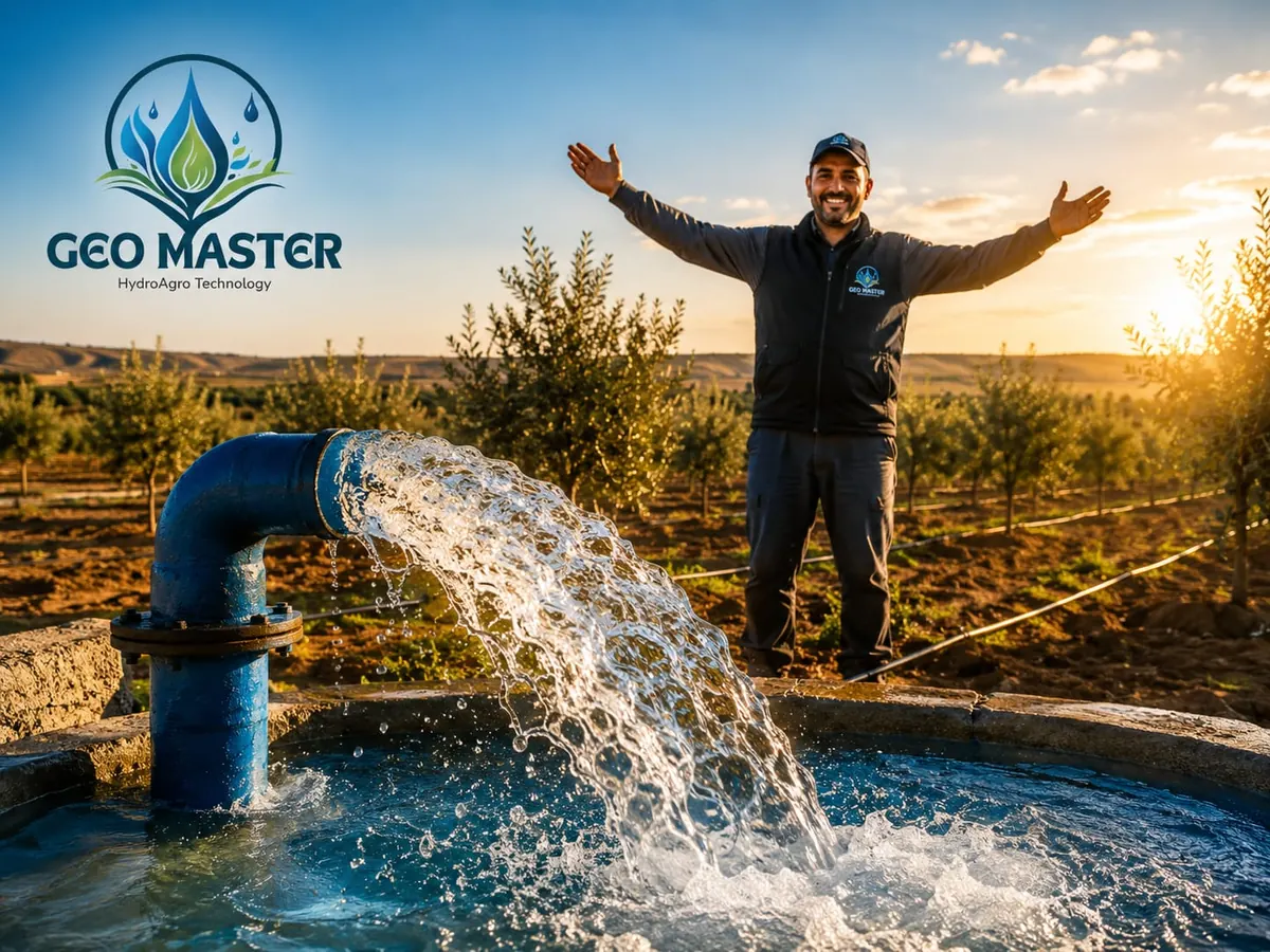
Our clients drill with confidence: the identified point, depth and salinity match what they find on site. Here's what they have to say.
“The survey located the exact point and we found water exactly at the announced depth. A very professional team.”
“The salinity measured matched the report, and our olive plantation is now well irrigated thanks to the point they identified.”
“Serious team, clear and detailed report, and a successful borehole on the first try. Highly recommend.”
We run a geophysical survey of your land using a 3D scanner and two modern devices with different technologies (American and German) to minimize the margin of error and pinpoint where water is abundant.
Before any drilling, the survey determines the best drilling point, the water depth, the salinity level and the estimated pumping volume, and tells you whether the water is free of salts harmful to agriculture.
Pricing is reasonable and depends on the number of survey points and travel costs from Sfax. Contact us on WhatsApp at +216 20 205 505 for a free quote.
Yes. Based in Sfax, we operate across all of Tunisia: Sfax, Skhira, Gabès, Sidi Bouzid and every other region.
On average, one analysis point per ~3 hectares, to find the spot with abundant water suitable for agriculture.
A failed borehole costs thousands of dinars. Our survey sharply reduces that risk by confirming abundant, good-quality water at the chosen point before you drill.
Fast answers on WhatsApp or by phone, 7 days a week.
Fill in the form — your request opens in WhatsApp, ready to send.